


 13 Terms
Home > Terms > English, UK (UE) > Geotiff
Geotiff
A file format that embeds image registration information directly into a raster file; an industry-neutral raster file format widely used and recognised by all of the major GIS software vendors. ESRI began support for Geotiff at version 7.0 of ARC/INFO and version 3.0 of arcview. Geotiff represents an effort by over 160 different remote sensing, GIS, cartographic, and surveying related companies and organisations to establish a TIFF-based interchange format for georeferenced raster imagery.
0
0
Improve it
- Part of Speech: noun
- Synonym(s):
- Blossary:
- Industry/Domain: Natural environment
- Category: Coral reefs
- Organization: NOAA
- Product:
- Acronym-Abbreviation:
Other Languages:
Member comments
Terms in the News
Featured Terms
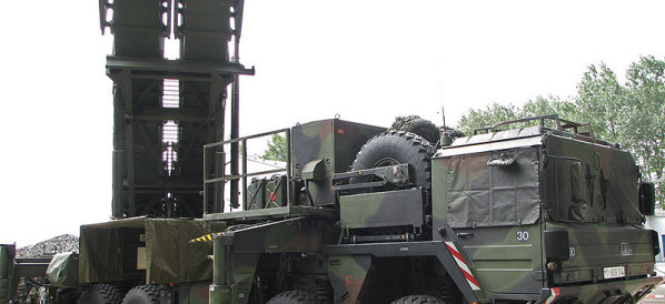
Patriot missile
A surface-to-air missile (SAM) system designed to shoot down aerial threats, including aircraft, tactical ballistic missiles and cruise missiles. ...
Contributor
Featured blossaries

dnatalia
0
Terms
60
Blossaries
2
Followers
Myers-Briggs Type Indicator
Category: Education 5 8 Terms
8 Terms
Browers Terms By Category
- Biochemistry(4818)
- Molecular biology(4701)
- Microbiology(1476)
- Ecology(1425)
- Toxicology(1415)
- Cell biology(1236)
Biology(22133) Terms
- Software engineering(1411)
- Productivity software(925)
- Unicode standard(481)
- Workstations(445)
- Computer hardware(191)
- Desktop PC(183)
Computer(4168) Terms
- General law(5868)
- Contracts(640)
- Patent & trademark(449)
- Legal(214)
- US law(77)
- European law(75)
Law(7373) Terms
- Investment banking(1768)
- Personal banking(1136)
- General banking(390)
- Mergers & acquisitions(316)
- Mortgage(171)
- Initial public offering(137)
Banking(4013) Terms
- Bridge(5007)
- Plumbing(1082)
- Carpentry(559)
- Architecture(556)
- Flooring(503)
- Home remodeling(421)